

SemaiSens
Satellite and AI intelligence for Malaysian agriculture. Every pass becomes a field decision your team can act on, and prove later.
Everyone Can Show You a Green Map
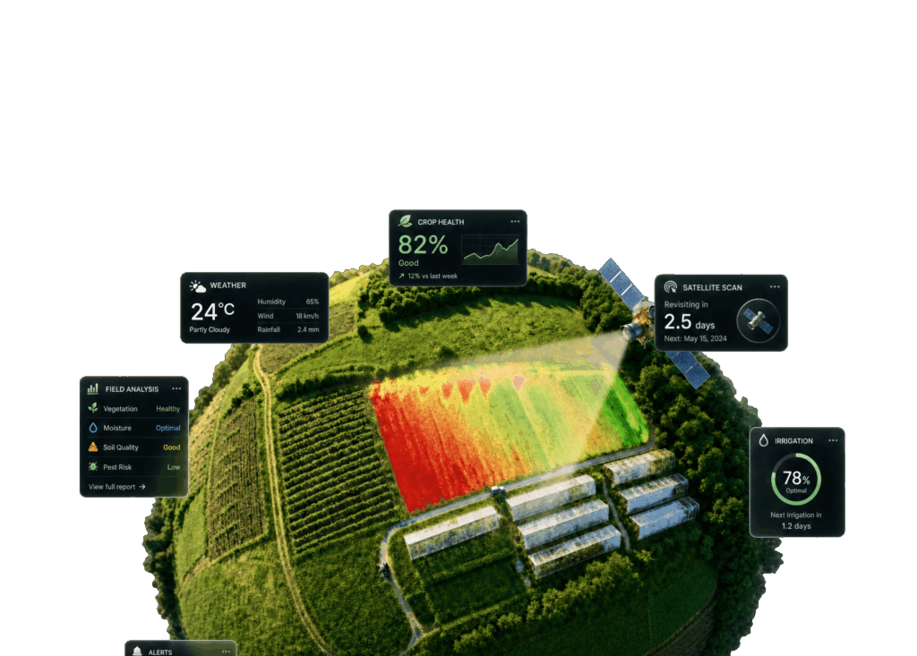
SemaiSens is MKR’s agricultural intelligence platform. It puts satellite imagery, weather data and your own field records in one view.
The difference is what sits behind an alert. Each one carries the evidence that produced it, so your team can see what changed and check what happened after they acted. Built in Malaysia, for Malaysian fields.
Decisions Backed by Evidence
Models That Know the Crop Calendar
One View for Every Role
Your Farm Knowledge Stays Yours
Four Crops, Modelled Properly
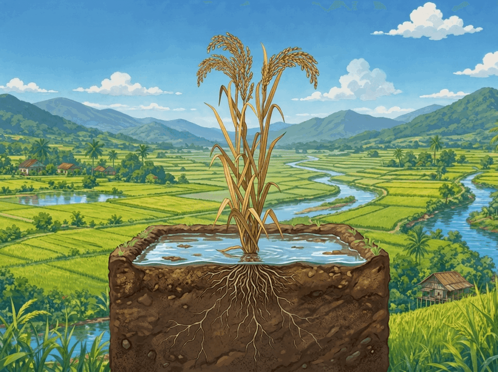
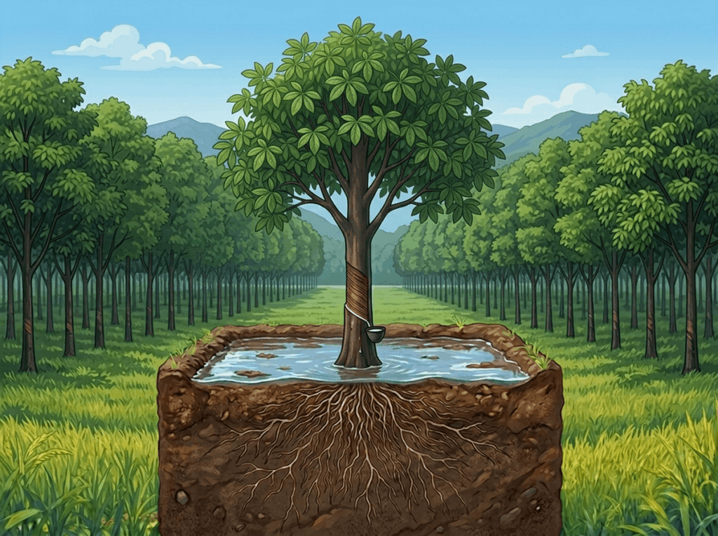
Flooded paddy, long-lived palms, rubber on a tapping rotation, pineapple planted in batches. Each one is modelled on its own terms.
Rice
A field still reading heading values at day 110 does not have a better canopy than its neighbours. It has delayed maturity.
29 crop guides

Oil Palm
A drought this month shows up as reduced bunch number and weight up to two years later. The model reads further back than the current pass.
27 crop guides
Rubber
For six to ten weeks a year, a perfectly healthy tapped block reads below band by design. The system stays quiet through it.
24 crop guides

Pineapple
A block reading above 0.75 is a scouting prompt, not a clean bill of health. Batch planting is modelled explicitly.
28 crop guides
From Boundary to Proof
Four steps. Each field action leaves a record of what changed, who went out, and what you can show afterwards.
01
Add Your Fields
Map a block, upload a boundary, or start from the farms already under your care.
02
Understand What Changed
Satellite, weather and on-ground context in one place, instead of three tools that do not talk to each other.
03
Assign the Next Action
Turn an alert into an inspection or a task, assigned with the context the field team needs to act on it.
04
Learn From the Outcome
Keep a record of what actually happened, so next season starts with better context than this one did.
Inside the Platform
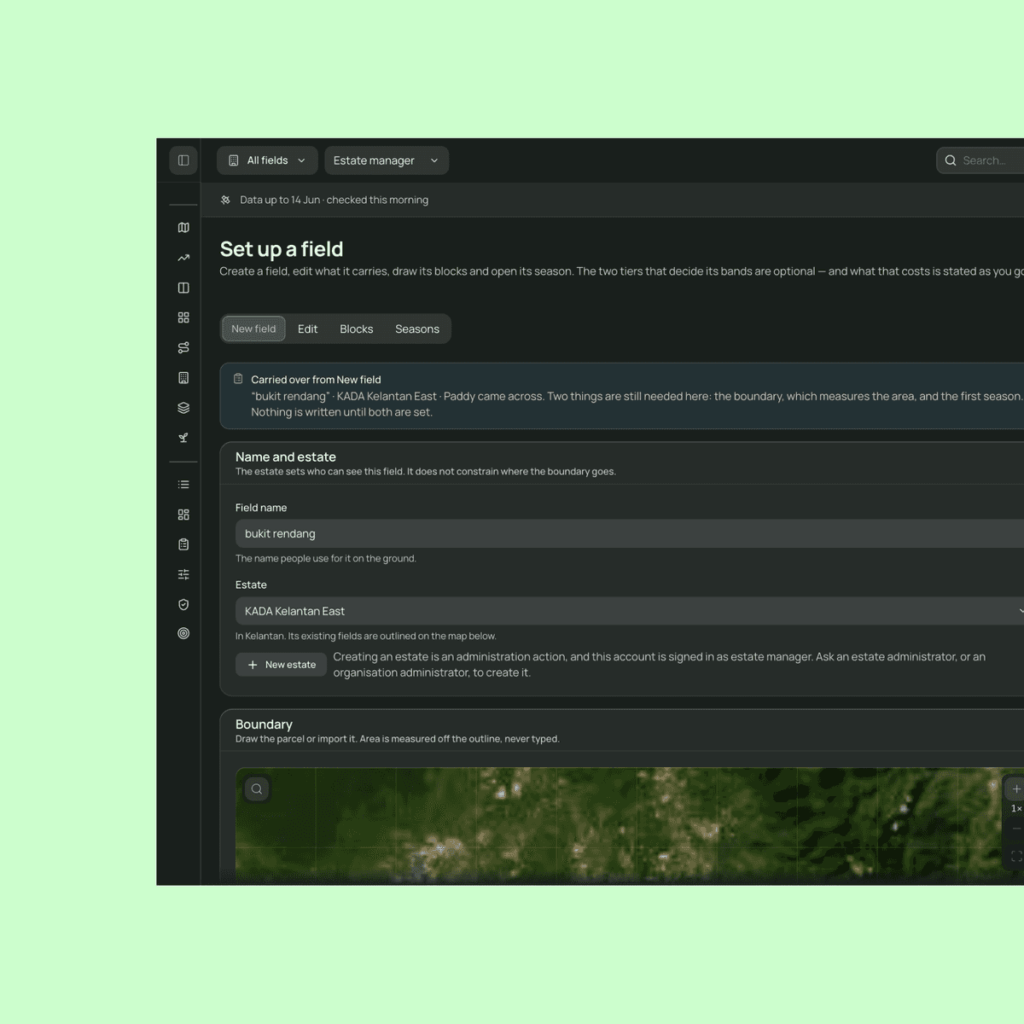
Sentinel-2 at 10 m and Landsat at 30 m ingest automatically from the day you draw a boundary, a pass every three to seven days. Paid tiers add higher-cadence imagery. When cloud spoils a pass it is marked hollow rather than quietly skipped.
- Indices matched to the crop rather than applied uniformly
- Rule cards bound to published agronomic literature
- Semai Advisor, which declines to answer when the evidence is thin
- Scout tasks with guided routes for field teams
- Ground truth findings that feed back and recalibrate the model
- Regional and national views above the estate
Who It's For
Growers
Know which block needs attention and why, then go and deal with it.
Estate Teams
Field visibility and team coordination on one system, so priorities stop having to be chased down.
Agencies
Track patterns across regions, compare outcomes, and back programme decisions with evidence.
See SemaiSens in Your Farm's Context
Bring your crop, your location and the way your team works. Plans start free for a single block and scale up to estates and agencies.
 BM
BM  EN
EN